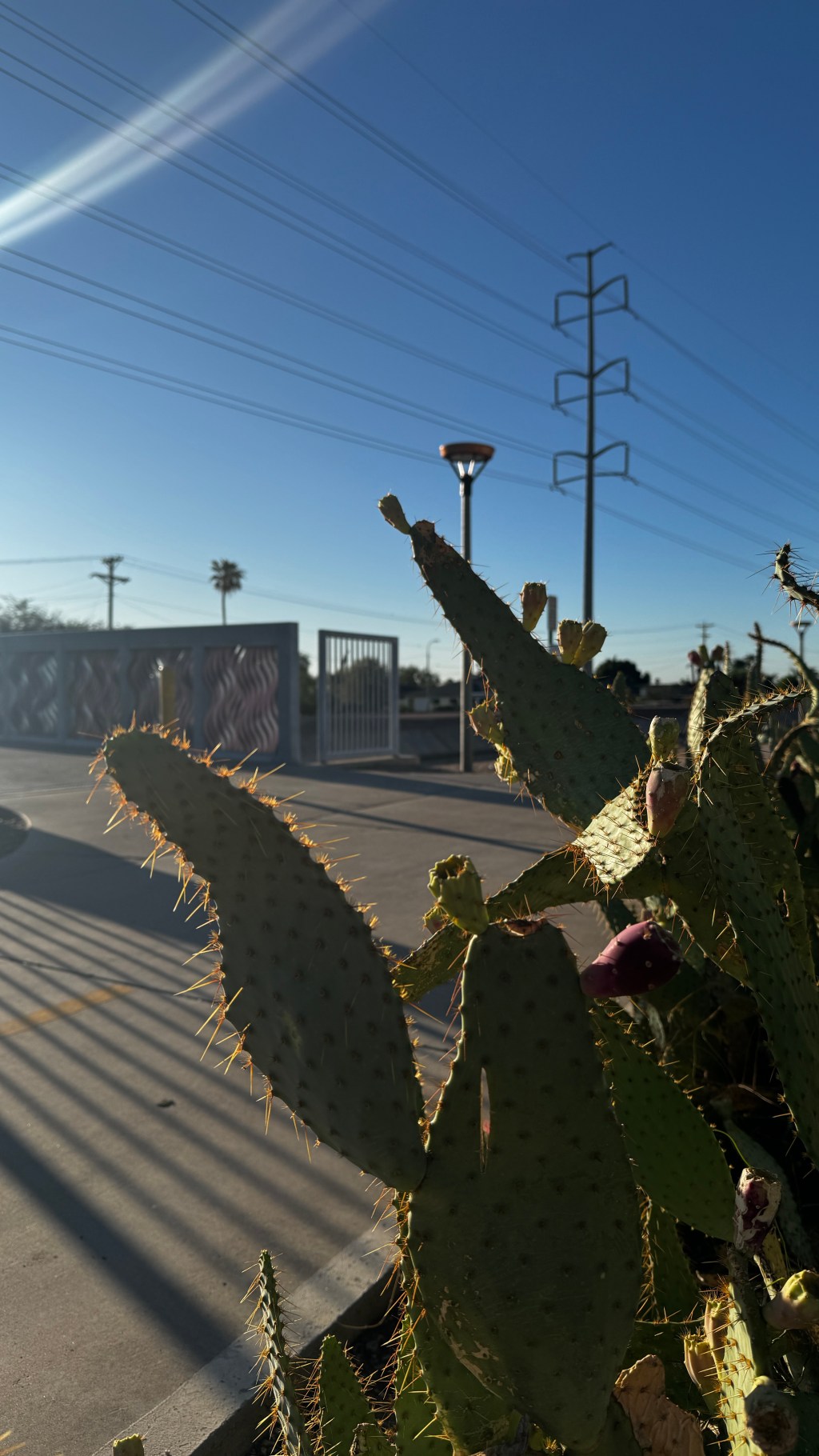
A few weeks ago, I took advantage of a pleasant September morning for a longer bike ride.
My destination was a famous Phoenix landmark: Camelback Mountain.
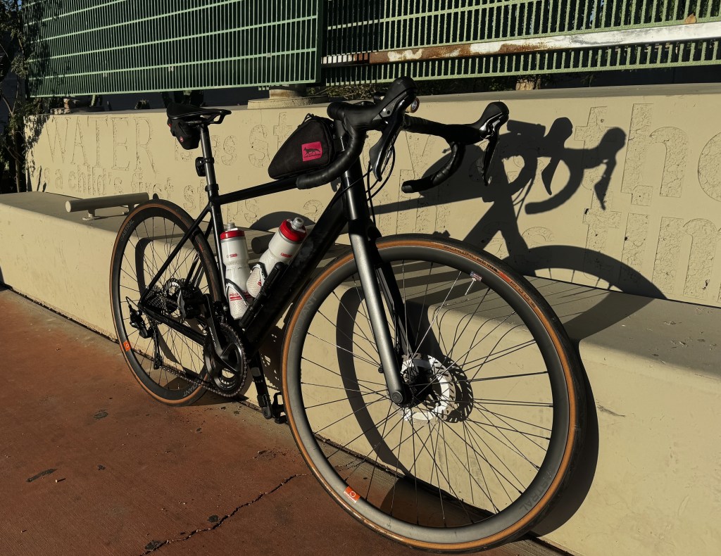
Still equipped with speedy Schwalbe Pro One tires, my alloy Canyon Endurace was my companion for the day. A Swift Industries top tube bag was installed for additional storage. Shortly after leaving the house, I stopped at a nearby QT gas station for a bag of gummy bears and a miniature-sized Coca-Cola. They fit perfectly into the top-tube bag.
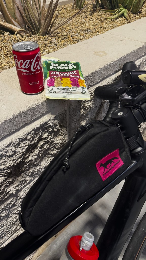
With my carb reserve now in place, I started my trusty Garmin Edge 130 and set off on my microadventure.
The suburbs are a different place for bicyclists in the early mornings. It’s not uncommon for me to have a 4 to 6 lane wide road with a posted 45 mile per hour speed limit to myself. 5 am is a wonderful time to bike in this corner of metro Phoenix.
The ample bike lane, along with smooth tarmac, supported a quick pace as I traveled north on McClintock Drive.
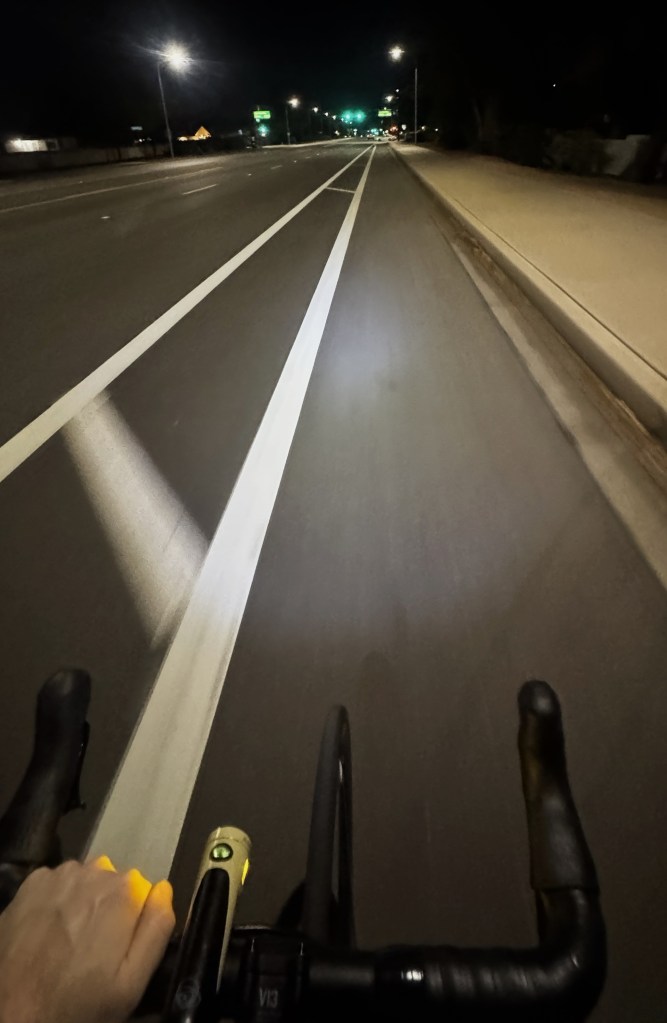
Maintaining a consistent cadence of 85 rpm, I stayed on McClintock until I reached Apache Drive. The bike lane ends north of Apache and it’s a busy area. Arizona State University is nearby, along with Tempe Marketplace, many apartment complexes, and many businesses.
So, to bike with more safety, I connnected over to the Smith bike lane.
Smith Road to Tempe Marketplace: One Mile of Great Bicycle Infrastructure
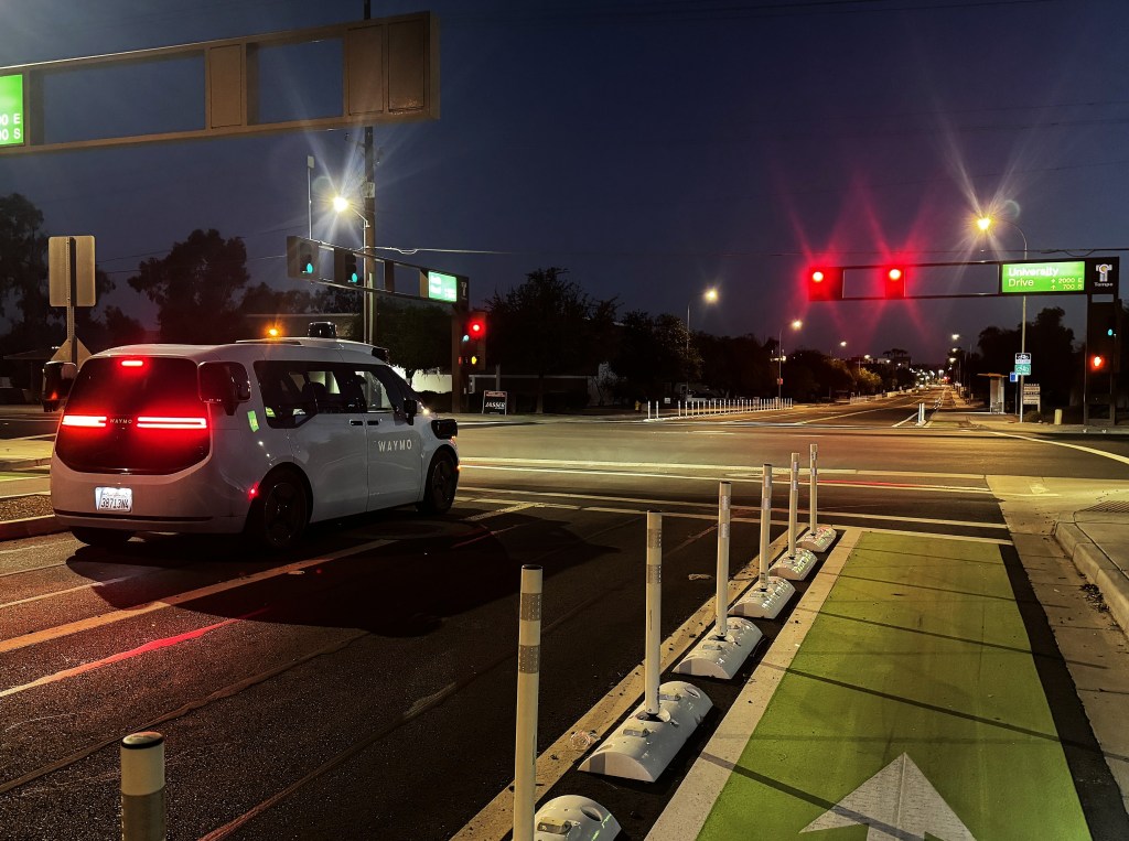
South Smith Road offers an entirely different experience from McClintock. It provides a direct 1 mile route between the Tempe Marketplace shopping center and the Cul De Sac housing development. Portions of the road have a fully protected bike lane. While other segments share the lane, traffic calming and a low speed limit provide a sense of safety. It’s a nice stretch of road to bike, but it’s a short distance.
Tempe Marketplace is squished between two major freeways and the Rio Salado river bottom. Loop 202 is essentially the northern boundary and Loop 101 is the eastern boundary.
The shopping center’s location makes it awkward for bicyclists traveling further north. The bridge for McClintock Drive travels over the river bottom. It has no dedicated bike lane, but the sidewalk is wide. Once past Loop 202, the bike lane picks back up for a short distance. But, it disappears again once you enter the City of Scottsdale.
Another protected bike lane was recently installed along Scottsdale Road, which is the next arterial street to the west of McClintock. It travels north-to-south and I was pleasantly shocked to see them install it on a major street. The protected bike lane begins at Curry Road and travels up to Continental Drive.
I’m still trying to find the best way to bridge the gap from McClintock to Scottsdale. Roosevelt Street could be an option, but I haven’t tested it yet. I’d suggest venturing over to Miller Road via the south side of Tempe Town Lake in the meantime.
City of Scottsdale: A Great Environment for Cyclists and Car Enthusiasts Alike
The City of Scottsdale is doing great work for bicyclists. They have a robust plan to improve the bicycle network, which is great for recreational and utilitarian bicyclists. Other parts of the city also have wonderful mountain biking.
Scottsdale also has a robust car culture. Famous events like the Barrett-Jackson Auction and RM Sotheby’s Auction happen here. There are also smaller local events like FourTillFour’s regular car shows (Official Website: FourTillFour Scottsdale) and Cars and Coffee at the Penske Racing Museum (Penske Auto Website: Cars and Coffee). Exotic and classic vehicles are abundant at these events.
On many weekends, if you’re cycling near Old Town Scottsdale, you can incorporate a coffee stop at Four Till Four, check out some cars, maybe visit Bicycle Haus (https://www.bicyclehaus.com), and continue on your way. Regroup Bicycles (https://regroupwithus.com/) also offers a unique place to stop
I’m excited to see these two cultures continue to intertwine. The online culture wars would lead you to believe that all bicyclists are anti-car. That’s an untrue generalization.
I’ve found that my favorite people to bike with are also car enthusiasts. Conversations about cars, Formula 1, and driving are frequent.
As more public figures in motorsports also get into cycling, I believe this overlap will continue to expand.
Just last week, Formula 1 shared that Cadillac’s Valtteri Bottas had cycled from Malaysia to Singapore. The article from Formula 1 is available here: Formula One Official Website: “‘Chill’ snakes and a journey of 420km – Bottas’ epic bike ride from Malaysia to Singapore”
Pedaling as the sun came up, I passed through Old Town Scottsdale and entered Paradise Valley. This was my last stretch to the newly completed trailhead at Camelback Mountain’s Echo Canyon.
Arriving At My Destination: Echo Canyon Trailhead
Paradise Valley is a wealthy part of the valley. Many athletes and celebrities choose to live in this geographically small enclave. Some of our most famous resorts are also in this area.
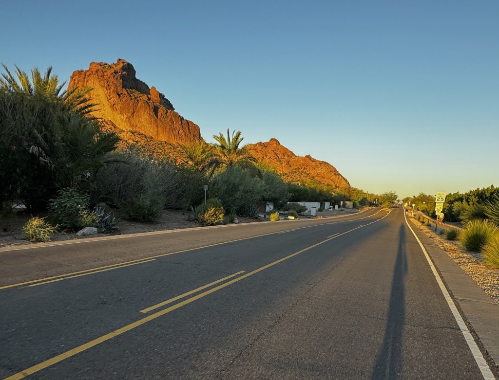
East McDonald Drive, which is the road to Echo Canyon, has a reasonably low posted speed limit, but no bike lane. The road is used by tourists and residents, so it’s important to ride defensively. I was along this road for 2 miles.
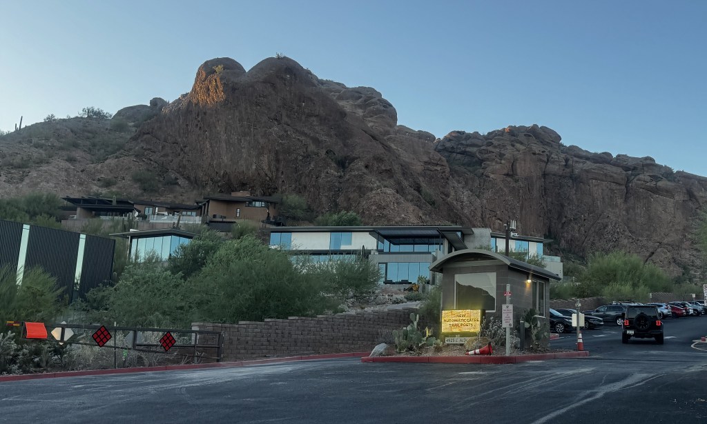
The Echo Canyon trailhead recently reopened and underwent a full renovation. There are bathrooms, water fountains, bicycle racks, and picnic tables at the trailhead. But, be warned, this is the most famous trail in Phoenix. Parking is ultra-competitive unless you arrive early. Also, as a note to hikers, this trail should not be done during excessive heat. Helicopter rescues are far too common here and, regardless of fitness level, heat stroke can be unexpected and lethal.
Leaving the trail, I had to be mindful of the angle of the sun. I was bicycling directly into the low morning sun. Without a bike lane, I only traveled a few hundred feet before deciding that was dangerous. I rerouted to the west and found another route into the residential area.
From there, I took the Crosscut Canal south through Scottsdale and into Tempe. This multiuse path was once my route to work, so I’m very familiar with it. It provides a route away from cars. Underpasses travel beneath most major roads, so stops are infrequent. It’s a wonderfully efficient path.
The remainder of my ride was uneventful and routine. I traveled nearly 45 miles and only had about 500 feet of elevation. My average speed was 17 miles per hour.
I’m reminded of how fortunate I am to have access to this unique scenery and expanding infrastructure for bicyclists (at least in this region of the Valley). For those who are interested, I’ve included a link to the Ride with GPS route that I used.
This travels from Estrada Park in Tempe to Echo Canyon Trailhead: https://ridewithgps.com/routes/57458578?via=PB89uNPiBqqkPkzTwXu85w
Please ride defensively and remember that cycling carries risk. I make no guarantees for the safety or accuracy of this route. It is provided as an aid only.


Leave a Reply