
Last Saturday, with high temperatures in Phoenix reaching about 115 degrees, I decided to take a day trip. I traded our scorching suburban asphalt for pine trees, gravel paths, and air temperatures that were about 30 degrees cooler. Arizona has many diverse climates across the state, so, by driving just a few hours, we can experience completely different weather.
I originally planned to drive up to the Payson area and bike along Forest Road 300 (FR300). However, after reading recent reviews, I decided against it. FR300 is a popular place for campers and off-highway vehicle use, so my suspicion was that it could get quite dusty. Between it being a Saturday and the reality that many other Phoenicians had a similar plan, I decided to pivot elsewhere.
The Early Bird Gets No Traffic: Driving to Northern Arizona
My new destination was Flagstaff. Flagstaff is about an hour further from my house, but it offers more amenities. The town is home to Northern Arizona University, so it’s a college town. The downtown area has restaurants, bars, and coffee shops. There is also an urban trail system which goes throughout the city.
In order to beat traffic driving north, I woke up around 3:45am.
I took my time getting ready, enjoyed a full cup of coffee from the Moccamaster, packed my gear, and loaded up into the Volvo. When I left at 5am, the ambient air temperature was still over 90 degrees. The desert favors an early morning routine.
My drive over the next two-and-a-half hours was simple. I just followed the I-17 north. The scenery outside my window shifted from desert to grassland to forest. By the time I arrived at Flagstaff’s Buffalo Park, it was 68 degrees. It was exactly what I needed.
My expected route was to start in Buffalo Park, take the Arizona Trail for a short distance, and then cross into a neighborhood. From there, I’d follow residential streets and the Flagstaff Urban Trail System (FUTS), to create about a 23 mile loop.
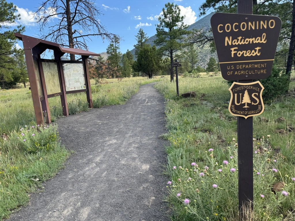
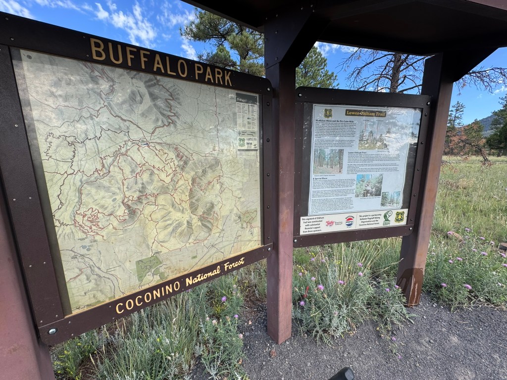
Beginning My Flagstaff Biking Adventure at Buffalo Park
While I had loaded my route onto my Garmin the night before, I quickly discovered my original route was flawed. A number of the connecting trails I thought I could take were on private land. Fencing and “no trespassing” signs dotted the area. I was careful to avoid crossing these boundaries and turned around when required.
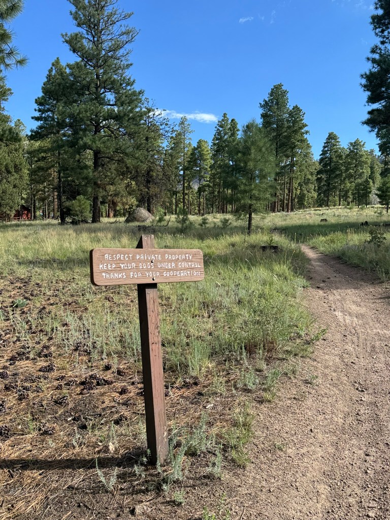
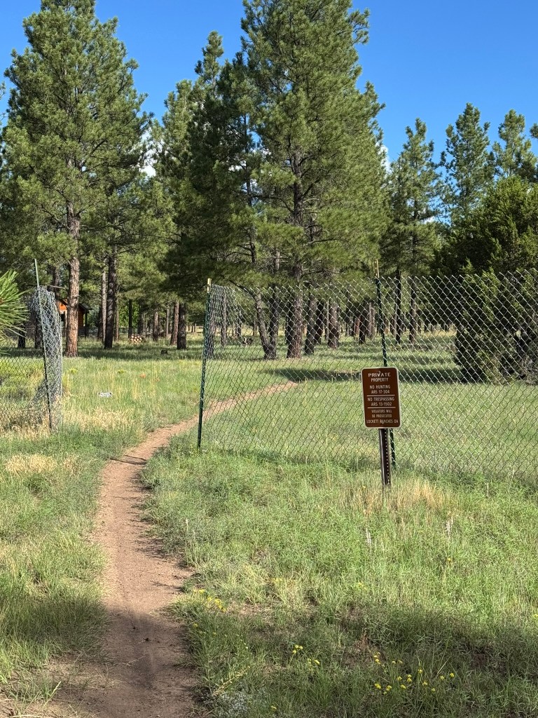
So, I continued north along the Arizona Trail. Thankful for my larger tubeless tires, the terrain quickly became more technical.
A few rock gardens turned into hike-a-bike sections as I doubted my off-road bike handling skills. One section nearly dumped me off the bike as I came to a stop on an off-camber uphill segment.
Truth be told, I was very close to turning around and heading back to the parking lot so that I could reroute. I had covered enough technical terrain that I knew the return would also be tough.
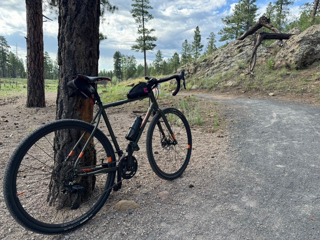
Days later, as I was remapping my route, I would discover I ended up on an intermediate difficulty MTB trail.
Every so often, I stopped, grabbed my phone, and looked at a map’s satellite view. I could tell this trail had to eventually cross a forest road. I pressed on.
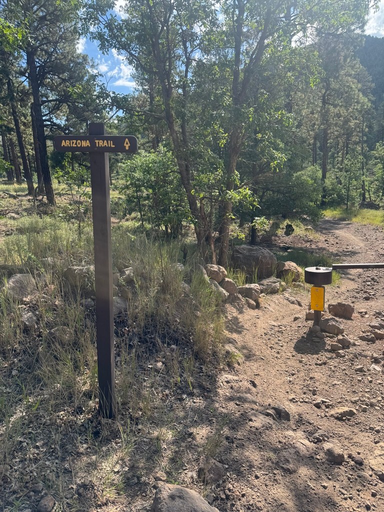
The trail continued through more rock gardens and dry creek beds, until, finally, I saw a connection path! A graded dirt road was visible just a short distance to my left. A simple gate with a well-marked sign marked “Arizona Trail” delineated that, this was, in fact, also an official trail.
Victory was mine!
Singletrack to Gravel to Pavement
I walked my bike around the gate and then turned on my blinking bike lights. Whenever I’m riding around cars, I prefer to have them turned on.
The screen on my simple Garmin Edge 150 showed my original route a short distance ahead.
I enthusiastically began pedaling along the graded gravel road. My bike accelerated as I continued downhill towards the city, Every so often, a vehicle (usually a lifted Toyota of some kind) would pass me headed the other way in a brief cloud of dust.
This was exactly what I drove here for, I thought.
The cool temperatures, the pine trees, and the rural feeling were the opposite of what I’d be experiencing at home. As the road surface turned from gravel to asphalt, my 700×42 Maxxis tires whirred beneath me.
As I neared a two-lane highway, I passed a trailhead parking lot. There were many other cars parked with bicycle racks. Many of them were probably mountain biking.
As for me, my environment was going to become more urban. I turned left onto the highway and pedaled down the wide shoulder for a few miles. Motorists were conscientious and provided me with plenty of room as they passed.
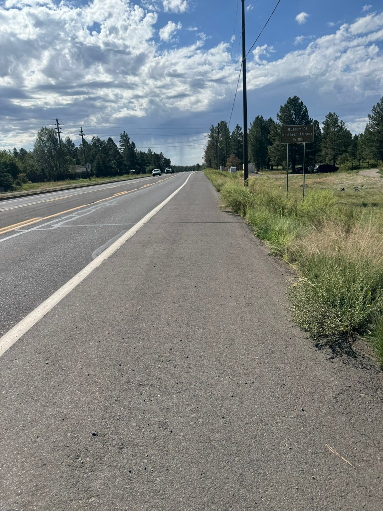
This was allowing me to make up some ground since my earlier hike-a-bike had taken much longer than expected.
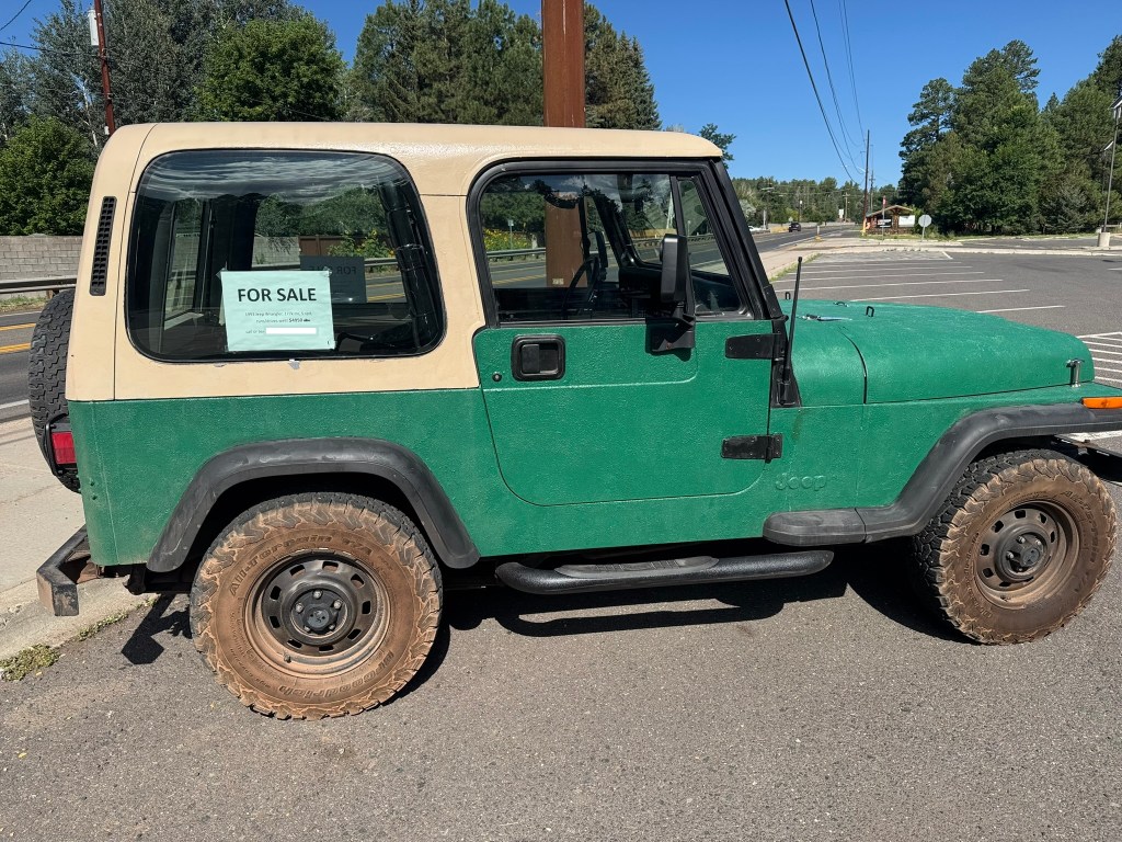
I stopped quickly to look at an old Jeep Wrangler that was for sale. The $4900 asking price was actually tempting, but I knew I don’t have space for a project car.
Riding the Flagstaff Urban Trail System (FUTS)
So, I pedaled on, turned off the highway, and joined the urban trail system.
The FUTS meanders through residential neighborhoods on a gravel path. I slowed for the occasional walker, called out “on your left”, and allowed my trail bell to reinforce my presence.
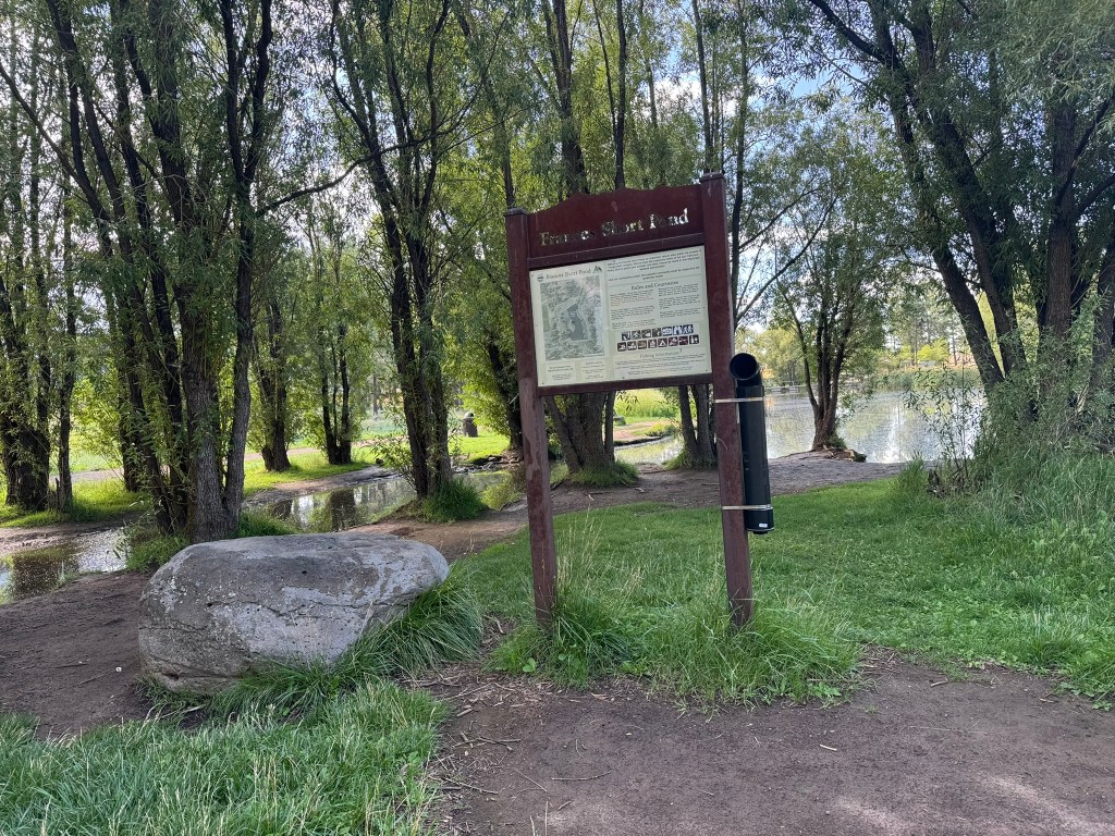
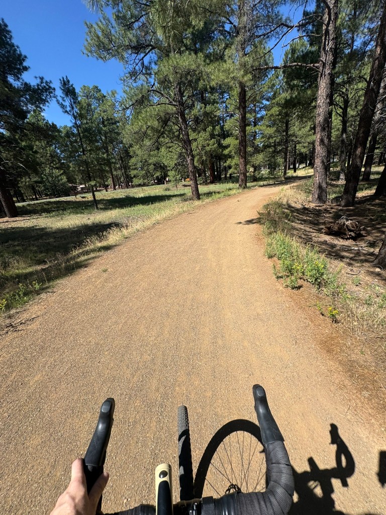
With the sun getting higher in the sky, I focused on completing my route. It wasn’t as hot as Phoenix, but it was warming up. My plan was also to get home before 4 pm and I wanted to get lunch in town before heading back down the mountain.
The miles passed as I reached waypoint after waypoint. Despite being to Flagstaff many times, I discovered little landmarks and neighborhoods which I never knew existed.
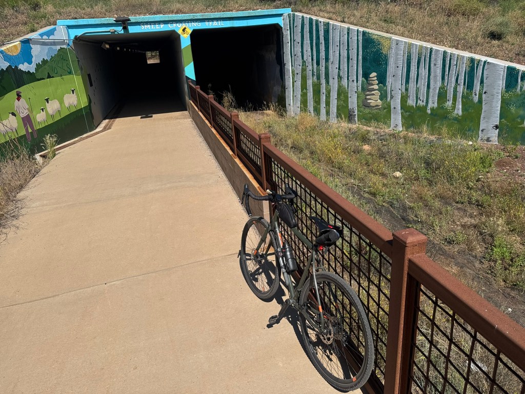
A quaint underpass beneath the I-17 indicated that I was almost at my turnaround spot: Fort Tuthill.
The simple drainage-tunnel-turned-pathway provided a great spot for a photo, as well as a few seconds of frigid air. Emerging on the other side of the highway, I pedaled on for just a short distance and arrived at Fort Tuthill.
I had been carrying a peanut butter and jelly sandwich in a clear plastic bag atop my Camelbak hip pack. This might not have been the best location. It had been pre-heating in the sun all morning, so the whole wheat bread had started to turn a little soggy from the hot fruit jelly. It was edible and provided some carbs (Note to self: figure something else out for mid-ride fueling next time).
Concluding My Loop Around Flagstaff
Equipped with the few hundred calories, I headed back towards my starting point at Buffalo Park.
My return trip was uneventful for the most part. There were a few spots where I missed my turn. Each time, I quickly recognized my path was splitting from my programmed breadcrumb trail on my GPS. It felt like geocaching, which was fun on this day.
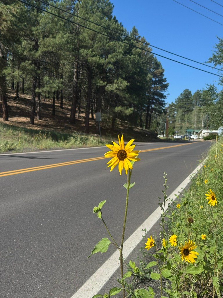
Riding through downtown Flagstaff on San Francisco Street, I took the lane as traffic creeped through the city center. I followed a decked-out GMC pickup that had expensive mountain bikes draped across the tailgate. At stoplights, I did my best to practice my trackstand skills.
The road eventually pitched upward and gained a bicycle lane. Traffic cleared and passed me as my speed slowed.
The last bit of my ride was all uphill. I would have to pass the medical center and then ride up to the park to get back to my car. I reminded myself that I had suffered for much longer in Pasadena, but I was tired and running low on fuel. I encouraged myself with the knowledge that pizza and a beer awaited me on the other side.
I eventually arrived exhausted at the Volvo and texted my family to let them know I had finished my ride.
Stopping my Garmin LiveTrack, I had burned around 1,700 calories on my 24 mile loop. My heart rate had reached around 192 beats per minute at one point on the climb.
My bike ride had been cathartic and a great workout.
With everything loaded into the Volvo XC70, I drove to downtown Flagstaff. My favorite place, Dark Sky Brewing, had just opened for the day. They share the location with Pizzicleta who, in my opinion, makes some of the best pizza in the state.
That’s saying something since we have some excellent pizza places across Arizona.
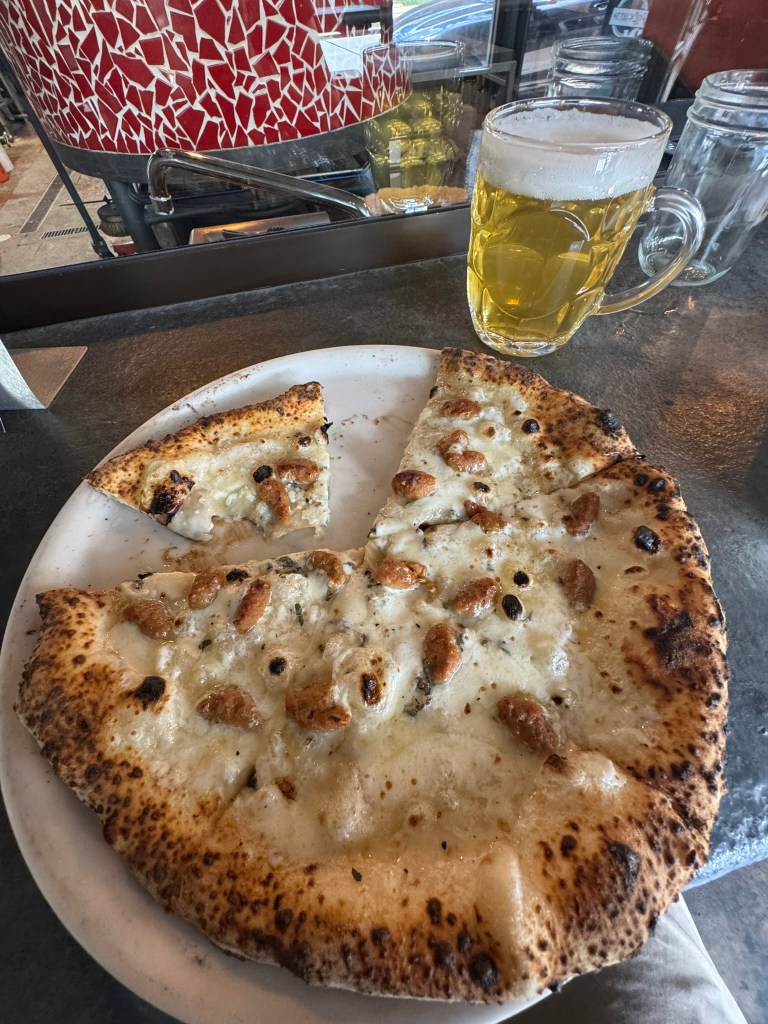
After enjoying my meal, I eventually headed back to Phoenix. My drive down the I-17 was uneventful and our 17-year-old Volvo continues to make these trips exceptionally comfortable.
All-in-all, it was a wonderful day for an adventure.
About the Route
If you’re interested in this ride, I mapped it through the website’s Ride with GPS page: Ride With GPS – Shoulda Been A Cowboy Loop.
The route shares roads with cars, so you need to be comfortable riding with traffic. It also follows trails with varied surfaces, including gravel, rougher terrain, and potential ice/snow in cooler months. Parts of this route are also in semi-remote areas. Ride at your own risk.
Please respect private property, tread lightly, and be a good ambassador for cycling.
Important: I’ve attempted to refine the route out of Buffalo Park, but wayfinding and some hike-a-bike may still be required. There seems to be discrepancies between virtual maps and the reality on the ground. Wider tires are required. A mountain bike is ideal.


Leave a Reply